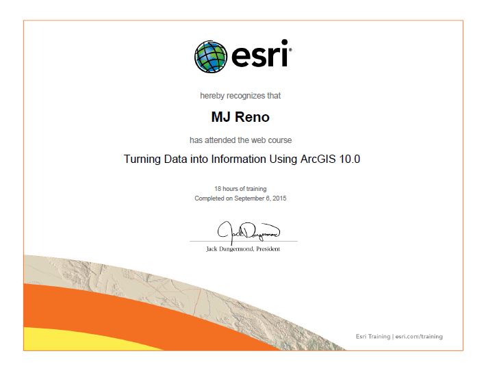
This topic focused on the ESRI training course entitled Turning Data into Information Using ArcGIS 10.0.
From the course introduction page: “Geographic information systems today are being used by everyone from scientists to everyday citizens to solve geographic problems ranging from the very simple to the extremely complex. As the use of GIS and the availability of digital data increases, GIS users need to be aware of how the data being put into a GIS affects the reliability of the information products being produced from a GIS.To ensure reliable results, users must approach GIS analysis through systematic scientific inquiry and reliance on major branches of knowledge, such as spatial statistics and cognitive science. This course discusses many of the issues involved with working with spatial data.By the end of the course, you’ll begin to think about GIS in a new way. You’ll understand the limitations of data and the uncertainty inherent in all GIS information products, but you’ll also know how to make meaningful information out of imperfect data.”
The course was split into six modules and details for each can be found by following these links:
Module 1: Basics of Data and Information
Module 2: Cartography, Map Production, and Geovisualization
Module 3: Query and Measurement
Module 4: Transformations and Descriptive Summaries
Module 5: Optimization and Hypothesis Testing
Module 6: Uncertainty
