Hello and welcome to a site that explores contemporary techniques in spatial analysis by documenting progress through Advanced Geospatial Analytics, GIS520, at NCSU in Raleigh, NC. Topics explored are linked at the top of each site page and also immediately below. For more about the course continue down this page.
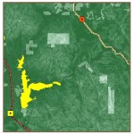
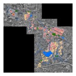
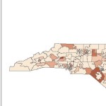

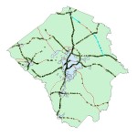
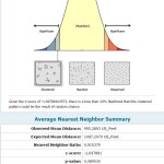
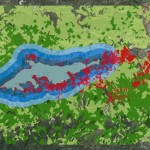
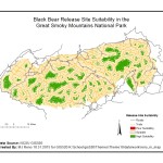
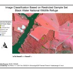
Description: GIS 520 in the Center for Geospatial Analytics at NCSU is a core course in the Graduate Certificate program and an elective for the MGIST degree. The focus of the course is on extending fundamental GIS concepts introduced in GIS 510, applicable to many GIS packages but applied here in ESRI’s ArcGIS platform. Intermediate geoprocessing and analysis, spatial statistics, data inter-conversion and analysis, and decision making are important aspects of the course and are explored in topics that include Linear Referencing, Image Classification, Suitability Analysis and Geocoding.
Reflection: This course was effective in part because it required some level of independence with regard to the how an analysis was structured. There are many possible workflows associated with all but the most simple spatial analysis problems. Differences may arise around datasets and issues related to their origin and/or conversion, the desired outcome (including audience) of the analysis, and the organization of individual processing steps that can vary considerably depending on the problem solving approach. GIS 510 exposed tools and workflows but hid problem solving by providing step by step instructions, while GIS 520 more often emphasized problem solving by providing starting and endpoints (and hints) but not detailed workflows.


Enjoy!